Introducing
ForestScout
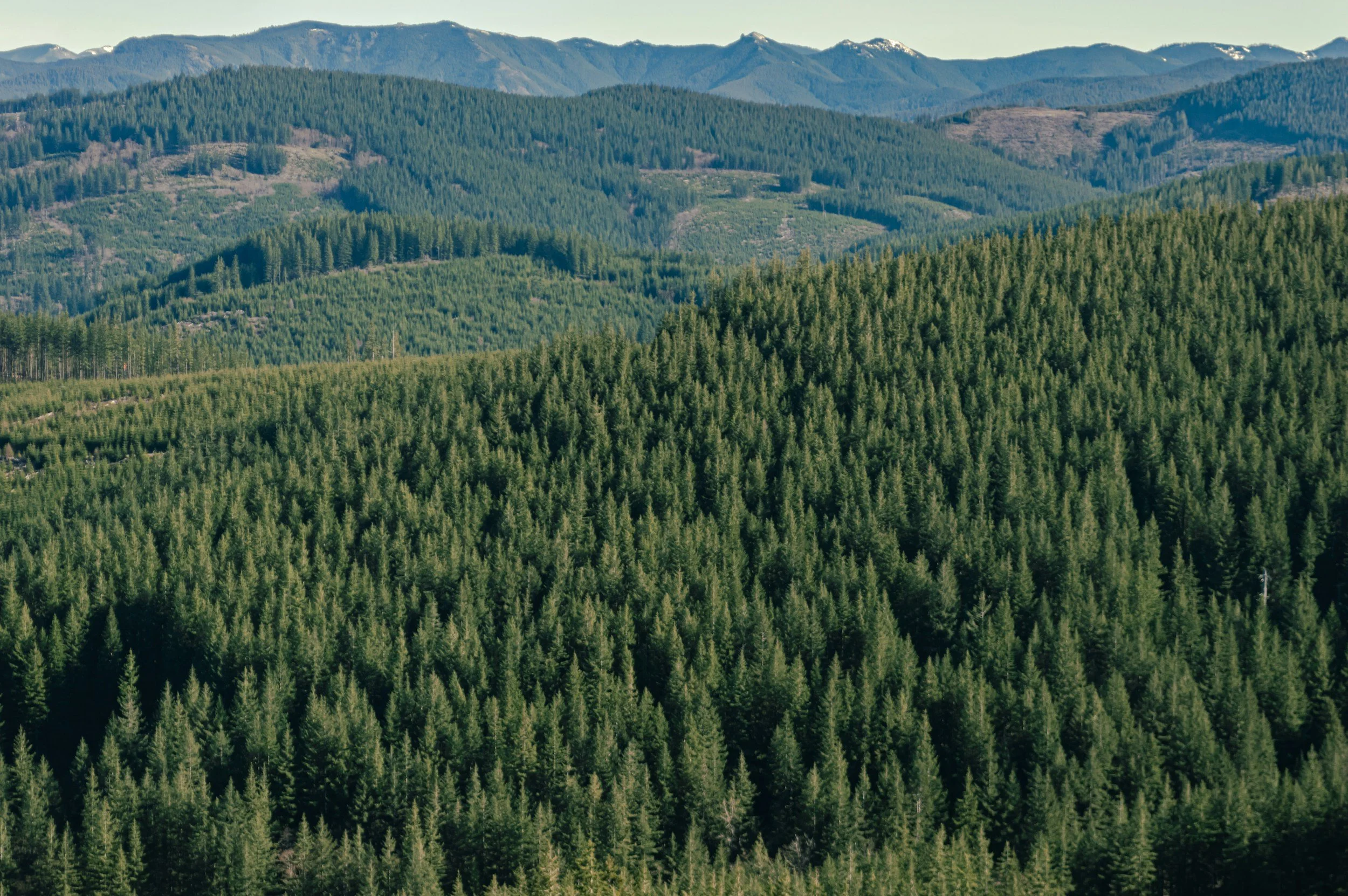
Satellite-powered EUDR compliance for forest commodity operators
Know your plots are deforestation-free.
And prove it.
The EU Deforestation Regulation (EUDR) requires operators placing wood, soy, palm oil, cattle, cocoa, coffee, and rubber on the EU market to demonstrate their supply chain plots have been deforestation-free since December 31, 2020. ForestScout automates that evidence gathering using Sentinel-2 satellite imagery.
How it works
1. Upload your plot boundary
Import a KML or GeoJSON file for each supply chain plot. ForestScout calculates area and identifies the country risk tier under Article 29.
2. Establish your EUDR baseline
ForestScout retrieves cloud-free Sentinel-2 imagery for the December 2020 cut-off period and classifies forest cover using NDVI analysis. Your
regulatory baseline is set automatically.
3. Monitor for change
Quarterly monitoring scenes are compared against the baseline. Any significant NDVI loss triggers an alert and a deforestation event record — with
the date, affected area, and severity.
4. Export your due diligence statement
Generate a compliance PDF report and export all Annex II fields as JSON or CSV — ready to submit to the EU information system.
Built for EUDR compliance
- Sentinel-2 L2A imagery via Copernicus Data Space
- Cloud-free median composites for reliable baseline classification
- Article 29 country risk tier display (low / standard / high risk)
- Retrospective historical scan — check any date range back to 2020
- Annex II due diligence statement export
- Deforestation alert emails
Part of the EOScout platform
ForestScout is a companion to RiverScout, EOScout's water quality monitoring product. Both are built on the same open satellite data infrastructure — Sentinel-2 via the Copernicus programme.